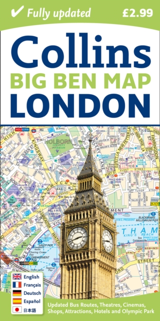
London Big Ben Map Sheet map, folded
by Collins Maps
Sheet map, folded
- Information
Description
This colourful fold out map of central London is ideal for visitors and tourists.
Shopping areas, theatres, cinemas, hotels, places of tourist interest, bus routes and bike stations all shown.
Central London mapped out in an exceptional detailed scale of 1:9,000 (7 inches to 1 mile). MAIN FEATURESThis colourful little map is an ideal day trip or tourist purchase.
It is packed with useful information including major shops, museums, theatres, selected pubs, popular restaurant areas and bike stations.
Footpaths and pedestrian areas are shown for those exploring the city by foot.
Planning journeys by public transport is made easy with numbered bus routes and underground stations colour coded on the map face to identify the relevant tube line.
The key to map symbols is shown in English, French, German, Spanish and Japanese and the index includes street names, places of interest, major hotels, cinemas, hospitals, tourist information centres and much more. INCLUDES* Inset map of the new Olympic park map.* The latest congestion charging zone.* Clear easy-to-read street map packed with information.* Places of tourist interest plotted and colour coded.* Handy small format and durable card cover. AREA OF COVERAGEFrom King's Cross in the north to Pimlico in the south and from South Kensington in the west to the Tower of London in the east. WHO THIS TITLE IS OF INTEREST TOThis product is especially useful to the tourist or day tripper who wants to make the most of their visit to central London.
Information
-
Unavailable
- Format:Sheet map, folded
- Publisher:HarperCollins Publishers
- Publication Date:01/02/2012
- Category:
- ISBN:9780007452439
Information
-
Unavailable
- Format:Sheet map, folded
- Publisher:HarperCollins Publishers
- Publication Date:01/02/2012
- Category:
- ISBN:9780007452439