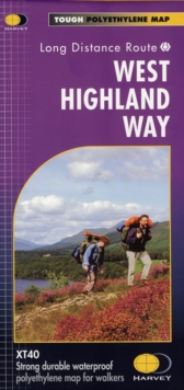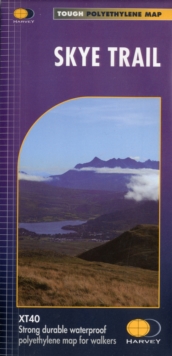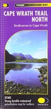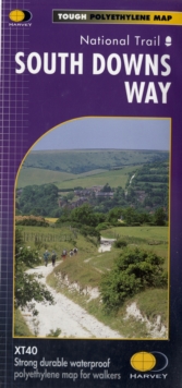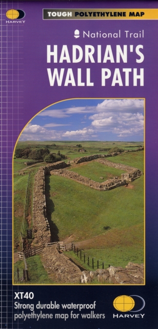
Sheet map, folded
- Information
Description
Entire route on one mapHadrian’s Wall Path is a National Trail and runs 130km (81 miles) from the Solway Coast to Newcastle. The sites of Roman remains are marked on the map, with an enlargement of Housesteads. Tough, light, durable and 100% waterproofIncludes Rights of WayRoute clearly marked
Information
-
In Stock - More than 10 copies availableFree UK DeliveryEstimated delivery 2-3 working days
- Format:Sheet map, folded
- Pages:1 pages, 1 map
- Publisher:Harvey Map Services Ltd
- Publication Date:30/08/2019
- Category:
- ISBN:9781851374380
Information
-
In Stock - More than 10 copies availableFree UK DeliveryEstimated delivery 2-3 working days
- Format:Sheet map, folded
- Pages:1 pages, 1 map
- Publisher:Harvey Map Services Ltd
- Publication Date:30/08/2019
- Category:
- ISBN:9781851374380
