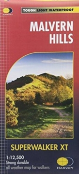
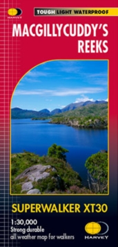
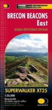
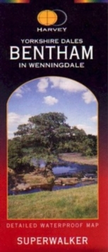
Sheet map, folded
- Information
Description
The whole of the Pentlands on one side of one sheet.
More than a map, an essential piece of equipment this new generation HARVEY Superwalker is designed to be the most practical tool for navigation outdoors.
The Superwalker XT25 is based on original HARVEY mapping with all the information a walker would expect on a map at 1:25,000 scale.
Exceptionally clear. Printed on polyethylene. Strong , durable and 100% waterproof. Less than half the weight of a laminated map. GPS compatible. Places of interest also shown. The clarity of the mapping has been improved to enable more people to read it without their glasses.
The map is uncluttered by information irrelevant to the walker.
The precise contouring and delicate hill shading give an immediate picture of the ground.
Less than half the weight of a laminated map. GPS compatible. Experience the satisfaction of fine navigation with the Superwalker XT25 now printed on our 100% waterproof and almost indestructible paper, whatever the weather!
Information
-
Out of StockMore expected soonContact us for further information
- Format:Sheet map, folded
- Pages:1 pages
- Publisher:Harvey Map Services Ltd
- Publication Date:30/08/2018
- Category:
- ISBN:9781851373130
Information
-
Out of StockMore expected soonContact us for further information
- Format:Sheet map, folded
- Pages:1 pages
- Publisher:Harvey Map Services Ltd
- Publication Date:30/08/2018
- Category:
- ISBN:9781851373130