
Free UK
Delivery

UK Family Run Business

Competitive
Pricing

Fast & Friendly Customer Service

30 Days Returns Policy

Over 10 Million Items Sold
Our best selling books | View All »
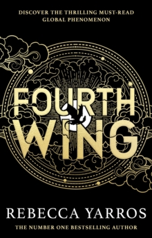
Fourth Wing
Don't miss out on the series that everyone can't stop talking about! 'Pure escapism - think Hunger Games meets Fifty Shades' - The Sun'We weren't expecting to become obsessed with Rebecca Yarros's...
£9.99
£9.90
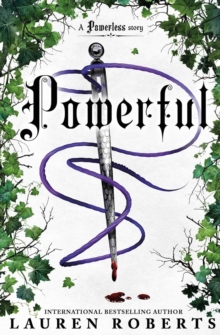
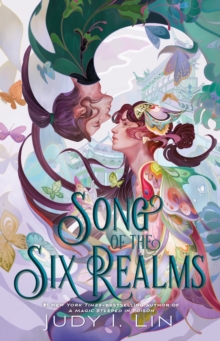
Powerful
From the international bestselling author of Powerless, comes a sizzling and heart-racing new story set in the Kingdom of Ilya.
Perfect for fans of The Hunger Games and Fourth Wing. Adena and Paedyn...
£8.99
£7.94
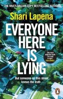
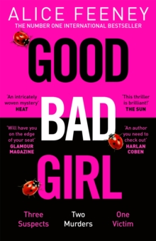
Everyone Here is Lying
'The most addictive book I've read in ages - so slick and disquieting and clever.
Just brilliant.'LISA JEWELL'I was obsessed with Everyone Here is Lying . . . Fast paced, tightly-plotted and with...
£9.99
£9.67
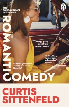
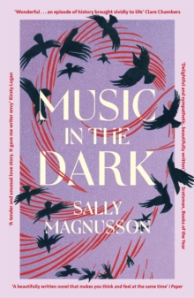
Romantic Comedy
THE SUNDAY TIMES AND NEW YORK TIMES BESTSELLERA REESE'S BOOK CLUB PICK'A hilarious, sweet, smart read that you're going to love!' REESE WITHERSPOON'A rollercoaster of modern love and dating'...
£9.99
£9.67
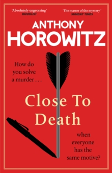
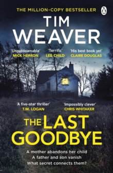
Close to Death
AVAILABLE ONLY WHILE STOCKS LAST – THE SPECIAL COLLECTOR'S EDITION: features a gold foiled design underneath the dust jacket and is exclusive to the first print run in the UK onlyHow do you solve a...
£22.00
£16.40
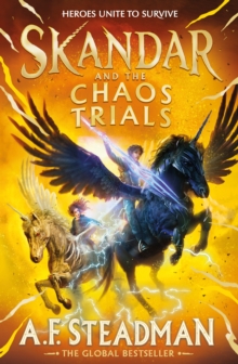
Skandar and the Chaos Trials
HEROES AND UNICORNS AS YOU’VE NEVER SEEN THEM BEFORE.
The epic adventure continues . . . Don’t miss the unputdownable new book in the international bestselling SKANDAR series, for readers ages 9 to...
£14.99
£12.14

My Favourite Mistake
THE HILARIOUS, HEARTWARMING NEW NOVEL FROM INTERNATIONAL NO. 1 BESTSELLER MARIAN KEYES'Keyes is a powerhouse' The Sunday Times'What heaven . . . wish it could go on forever' Nigella...
£22.00
£16.40
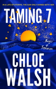
Taming 7
Taming 7 is an epic and unforgettable love story in the international bestselling and TikTok-phenomenon The Boys of Tommen series, from Chloe Walsh.
The power and pain of first love has never been...
£10.99
£10.62
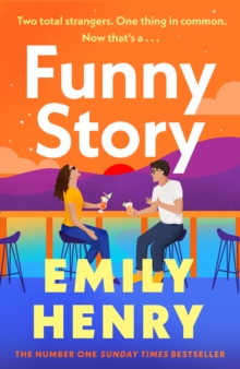
Funny Story
Set over one sizzling summer comes a shimmering, joyful new novel about the happily-ever-after that wasn't and the exes determined to make the best of it from the #1 Sunday Times bestselling author...
£18.99
£14.59
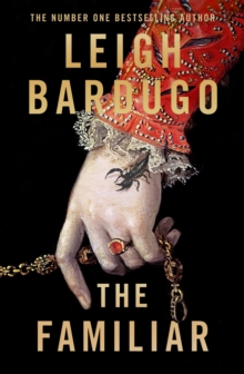
The Familiar
‘A richly imagined, intricate tale of magic and intrigue’ DEBORAH HARKNESS, #1 bestselling author of A Discovery of Witches‘Riveting… Leigh Bardugo's characters are so three dimensional you want to...
£20.00
£15.35
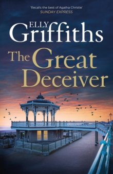
The Great Deceiver
The gripping new novel from bestselling author Elly Griffiths. It starts with a magician and a murder in a Brighton boarding house; throw in a show on Brighton pier, a sinister radio personality...
£9.99
£9.14
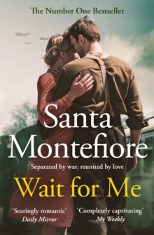
Wait for Me
'Based on a true story this gorgeous sweeping romance crossing time and continents is completely captivating as Florence epitomises the enduring power of love' My Weekly‘Fascinating, compelling and a...
£9.99
£8.69
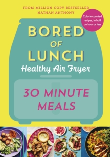
Bored of Lunch Healthy Air Fryer: 30 Minute Meals
FROM THE AUTHOR OF THE NO.1 BESTSELLING AIR FRYER BOOK OF ALL TIME All NEW super-speedy, calorie-counted air fryer recipes so you can have delicious, healthy food on the table in 30 minutes or less. ...
£20.00
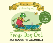
Frog's Day Out
Lift the flaps to join in the fun at the seaside with Frog's Day Out, a story in the bestselling Tales from Acorn Wood preschool series by Julia Donaldson and Axel Scheffler, creators of The...
£7.99
£7.68
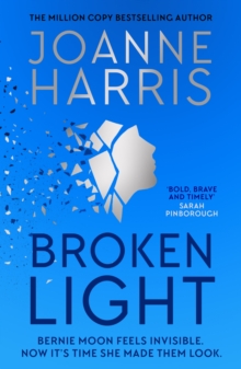
Broken Light
A bold and timely novel from #1 bestselling author Joanne Harris that explores how women can feel invisible as they grow older - and what happens when they decide to take back control... Have you...
£9.99
£9.90
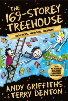
The 169-Storey Treehouse
*10 Million Children Laughing Worldwide*There are lots of laughs at every level in The 169-Storey Treehouse, the last book in the worldwide bestselling Treehouse series by Andy Griffiths and Terry...
£7.99
£6.99
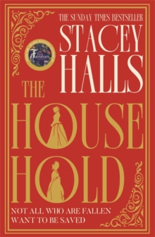
The Household
THE UNMISSABLE NEW NOVEL, SET AGAINST CHARLES DICKENS' HOME FOR FALLEN WOMEN'Absorbing . . . Halls weaves together the elements of her story with great skill' Sunday Times'Acutely observed and...
£16.99
£13.15
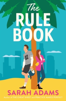
The Rule Book
College sweethearts meet again years later, in this highly anticipated sequel to the viral TikTok sensation The Cheat Sheet!'Adams dazzles . . . a saucy second-chance rom-com' Publishers Weekly,...
£10.99
£10.62
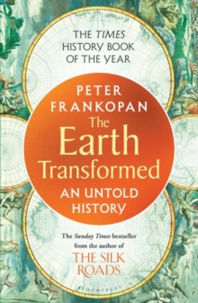
The Earth Transformed
THE TIMES BEST HISTORY BOOK OF 2023A BOOK OF THE YEAR PICK FOR THE TIMES, SUNDAY TIMES, BBC HISTORY MAGAZINE, GUARDIAN, INDEPENDENT AND FINANCIAL TIMESA BBC RADIO 4 BOOK OF THE WEEK | AN INSTANT...
£12.99
£11.49
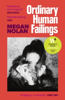
Ordinary Human Failings
*LONGLISTED FOR THE WOMEN’S PRIZE FOR FICTION 2024**SHORTLISTED FOR FICTION – 2023 NERO BOOK AWARDS*After the death of a young girl, the finger of suspicion is pointing at one reclusive...
£9.99
£8.67
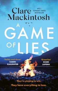
A Game of Lies
IF YOU WERE HOOKED ON THE TRAITORS, YOU WON'T WANT TO MISS A GAME OF LIES...
THE TWISTY SUNDAY TIMES BESTSELLING THRILLER AND NO.1 KINDLE BESTSELLERThey say the camera never lies. But on this show,...
£9.99
£9.14
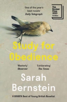
Study for Obedience
SHORTLISTED FOR THE BOOKER PRIZE 2023WINNER OF THE SCOTIABANK GILLER PRIZE 2023LONGLISTED FOR THE HIGHLAND BOOK PRIZE 2023NAMED AS ONE OF GRANTA MAGAZINE'S BEST OF YOUNG BRITISH NOVELISTS 2023A...
£9.99
£8.45
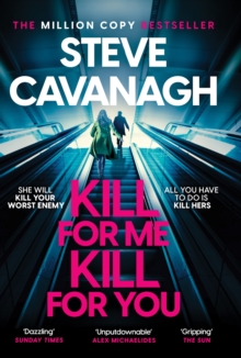
Kill For Me Kill For You
***THE INSTANT TOP FIVE SUNDAY TIMES BESTSELLER*** SHE WILL KILL YOUR WORST ENEMY.
ALL YOU HAVE TO DO IS KILL HERS. 'Dazzling' SUNDAY TIMES Best Thriller Books of 2023 'Steve Cavanagh's twists hit...
£9.99
£9.90
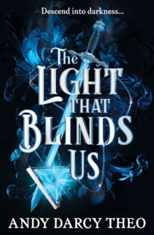
The Light That Blinds Us
‘Loved it from start to finish, was hooked all the way.’ ‘This book deserves to be read by everyone.’ ‘This book is filled with amazing one liners that I would legit tattoo on my forehead!’...
£9.99
£9.45
Our Top Picks
New Fiction | View All »
Featured This Month
Close to Death
Anthony Horowitz
AVAILABLE ONLY WHILE STOCKS LAST – THE SPECIAL COLLECTOR'S EDITION: features a gold foiled design underneath the dust jacket and is exclusive to the first print run in the UK onlyHow do you solve a murder... when everyone has the same motive? From global bestselling Anthony Horowitz, a brilliantly entertaining new mystery in the Hawthorne and Horowitz series. ‘Easily the greatest of our crime writers’ Sunday Times‘Incredible plotting, richly layered and wonderfully intricate.
I inhaled it' Liz...
Our Bestselling Vinyl | View All »

The Tortured Poets Department (Bonus Tracks Edition)
£44.99
£42.35
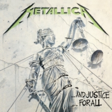
...And Justice for All
£48.99
£46.27

Eternal Sunshine
£29.00


The Circle Session (Limited Edition)
£25.29
In Between Dreams
£29.00
Metallica
£48.99
£46.27
How to Save a Life
£27.84
Prelude to Ecstasy
£27.16
Girlfriend Material
£27.03

Worrisome Heart
£32.38
1989 (Taylor's Version): Crystal Skies Blue
£36.99
£36.62

The Hype EP
£22.22
Saviors
£31.36

Walk Around the Moon
£26.53

Master of Puppets
£36.99
£36.62

NOW Yearbook 1988
£32.38

Semi-Detached
£29.29
Feel Good Now
£34.07
Speedyhen books, music, DVDs and more!
Our broad range of entertainment media includes everything from the latest best-selling books to blockbuster movies on Blu-ray. Whether you're looking for educational books for children, a new vinyl record or the best graphic novels, you'll find it here at Speedyhen.
We strive to provide the best possible service to our customers, which has helped us becoming a leading online bookstore and media retailer. As part of our package, we offer speedy dispatch times and all orders heading to mainland UK addresses will benefit from free delivery.
With over 7 million products in stock covering a range of formats and genres, you can find exactly what you're looking for. Either use the search bar to find a specific title or feel free to browse by genre and pick out something new. Head to our FAQs page if you need any further information.
Looking to protect your books?
Book Protectors have you covered – Literally!
Our preferred choice for protecting your cherished books - For over 50 years Book Protectors have provided an unrivalled range of quality products and a first class service all from their UK manufacturing facility.
Need help determining the right size jacket? Try out their size calculator for their Lyfjacket!