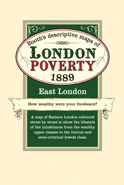
London Poverty Map 1889 - East Sheet map, folded
by Charles Booth
Sheet map, folded
- Information
Description
Maps of Victorian East London coloured street by street to show the lifestyle of the inhabitants from the wealthy upper classes to the vicious and semi-criminal lowest classes.
Information
-
Unavailable
- Format:Sheet map, folded
- Publisher:Bloomsbury Publishing PLC
- Publication Date:29/06/2011
- Category:
- ISBN:9781873590379
Other Formats
- Sheet map from £11.11
Information
-
Unavailable
- Format:Sheet map, folded
- Publisher:Bloomsbury Publishing PLC
- Publication Date:29/06/2011
- Category:
- ISBN:9781873590379