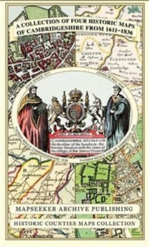
Cambridgeshire 1611 - 1836 - Fold Up Map that includes Four Historic Maps of Cambridgeshire, John Speed's County Map of 1611, Johan Blaeu's County Map of 1648, Thomas Moule's County Map of 1836 and Th
Mapseeker Publishing Ltd.
In StockFree UK DeliveryEstimated delivery 2-3 working days
Format: Book (Sheet map, folded)
£19.99
£17.09
In StockFree UK DeliveryEstimated delivery 2-3 working days
Book (Sheet map, folded)
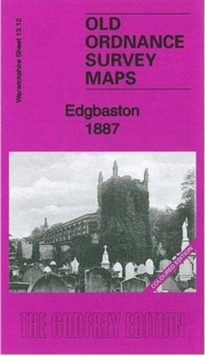
Add to BasketEdgbaston 1887 : Warwickshire Sheet 13.12a
Malcolm Nixon
In StockFree UK DeliveryEstimated delivery 2-3 working days
Format: Book (Sheet map, folded)
£5.04
In StockFree UK DeliveryEstimated delivery 2-3 working days
Book (Sheet map, folded)
Add to BasketHistorical Maps of Alnwick & Alnmouth from Earliest Times to 1918
Drawn from Alnwick's Heritage Societies
In StockFree UK DeliveryEstimated delivery 2-3 working days
Format: Book (Sheet map)
£9.99
£8.45
In StockFree UK DeliveryEstimated delivery 2-3 working days
Book (Sheet map)
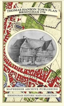
Add to BasketThomas Hanson Town Plan of Birmingham 1778
Thomas Hanson
In StockFree UK DeliveryEstimated delivery 2-3 working days
Format: Book (Sheet map, folded)
£19.99
£17.09
In StockFree UK DeliveryEstimated delivery 2-3 working days
Book (Sheet map, folded)
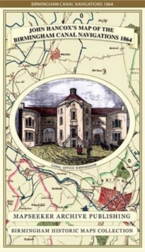
Add to BasketJohn Hancox's Map of the Birmingham Canal Navigations 1864
John Hancox
In StockFree UK DeliveryEstimated delivery 2-3 working days
Format: Book (Sheet map, folded)
£19.99
£17.09
In StockFree UK DeliveryEstimated delivery 2-3 working days
Book (Sheet map, folded)
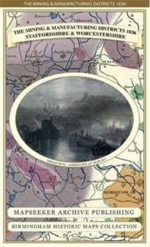
Add to BasketThe Mining & Manufacturing Districts 1836 Staffordshire and Worcestershire
Mapseeker Publishing Ltd.
In StockFree UK DeliveryEstimated delivery 2-3 working days
Format: Book (Sheet map, folded)
£19.99
£17.09
In StockFree UK DeliveryEstimated delivery 2-3 working days
Book (Sheet map, folded)
Add to BasketSt Andrews 1854 Map
Peter J. Adams
In StockFree UK DeliveryEstimated delivery 2-3 working days
Format: Book (Sheet map)
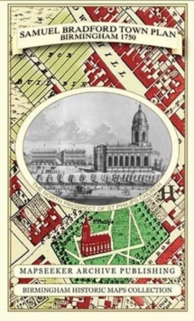
Samuel Bradford Town Plan Birmingham 1750
Samuel Bradford
In StockFree UK DeliveryEstimated delivery 2-3 working days
Format: Book (Sheet map, folded)
£19.99
£17.09
In StockFree UK DeliveryEstimated delivery 2-3 working days
Book (Sheet map, folded)
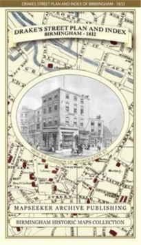
Add to BasketJames Drake's Street Plan and Index of Birmingham 1832
James Drake
In StockFree UK DeliveryEstimated delivery 2-3 working days
Format: Book (Sheet map, folded)
£19.99
£17.09
In StockFree UK DeliveryEstimated delivery 2-3 working days
Book (Sheet map, folded)
Add to BasketSwansea (North) 1897 : Glamorgan Sheet 24.01
Steph Mastoris
In StockFree UK DeliveryEstimated delivery 2-3 working days
Format: Book (Sheet map, folded)
£4.76
In StockFree UK DeliveryEstimated delivery 2-3 working days
Book (Sheet map, folded)
Add to BasketMap Hanesyddol o Abertawe a Mwmbwls : tref ganoloesol i Copropolis
Matthew Stevens
In StockFree UK DeliveryEstimated delivery 2-3 working days
Format: Book (Sheet map, folded)
£10.99
£9.18
In StockFree UK DeliveryEstimated delivery 2-3 working days
Book (Sheet map, folded)
Add to BasketLiverpool 1650 to 1821 - Fold Up Map Containing Town Plans of Liverpool that include Liverpool 1650, 1725, 1795 and Sherwood's plan of Liverpool and Environs 1821
Mapseeker Publishing Ltd.
In StockFree UK DeliveryEstimated delivery 2-3 working days
Format: Book (Sheet map, folded)
£19.99
£17.62
In StockFree UK DeliveryEstimated delivery 2-3 working days
Book (Sheet map, folded)
Add to BasketCornwall 1611 - 1836 - Fold Up Map that features a collection of Four Historic Maps, John Speed's County Map 1611, Johan Blaeu's County Map of 1648, Thomas Moules County Map of 1836 and Robert Dawson'
Mapseeker Publishing Ltd.
In StockFree UK DeliveryEstimated delivery 2-3 working days
Format: Book (Sheet map, folded)
£19.99
£17.62
In StockFree UK DeliveryEstimated delivery 2-3 working days
Book (Sheet map, folded)
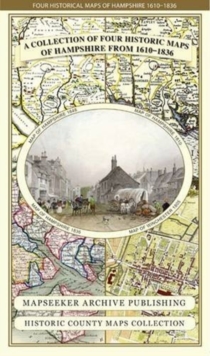
Add to BasketHampshire 1610 - 1836 - Fold Up Map that features a collection of Four Historic Maps, John Speed's County Map 1611, Johan Blaeu's County Map of 1648, Thomas Moules County Map of 1836 and a Plan of Win
Mapseeker Publishing Ltd.
In StockFree UK DeliveryEstimated delivery 2-3 working days
Format: Book (Sheet map, folded)
£19.99
£17.62
In StockFree UK DeliveryEstimated delivery 2-3 working days
Book (Sheet map, folded)
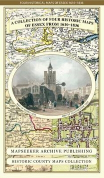
Add to BasketEssex 1610 - 1836 - Fold Up Map that features a collection of Four Historic Maps, John Speed's County Map 1610, Johan Blaeu's County Map of 1648, Thomas Moules County Map of 1836 and a Plan of Colches
Mapseeker Publishing Ltd.
In StockFree UK DeliveryEstimated delivery 2-3 working days
Format: Book (Sheet map, folded)
£19.99
£17.62
In StockFree UK DeliveryEstimated delivery 2-3 working days
Book (Sheet map, folded)
Add to BasketManchester 1650 - 1876 - Fold Up Map featuring William Swire's Plan of Manchester and Environs 1824, Cole and Ropers Plan of Manchester and Salford 1807, Dawson's Reform Plan of 1831, A Birds Eye View
Mapseeker Publishing Ltd.
In StockFree UK DeliveryEstimated delivery 2-3 working days
Format: Book (Sheet map, folded)
£19.99
£17.62
In StockFree UK DeliveryEstimated delivery 2-3 working days
Book (Sheet map, folded)
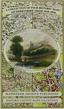
Add to BasketDerbyshire 1610 - 1836 - Fold Up Map that features a collection of Four Historic Maps, John Speed's County Map 1611, Johan Blaeu's County Map of 1648, Thomas Moules County Map of 1836 and Cole and Rop
Mapseeker Publishing Ltd.
In StockFree UK DeliveryEstimated delivery 2-3 working days
Format: Book (Sheet map, folded)
£19.99
£17.62
In StockFree UK DeliveryEstimated delivery 2-3 working days
Book (Sheet map, folded)
Add to BasketAston Villa History of The Beautiful Name - Illustrated Old Maps Presenting The Clubs Early History - Supplied in A Clear Two Part Screw Presentation Tube - Print Size 61cm x 41cm
Mapseeker Publishing
In StockFree UK DeliveryEstimated delivery 2-3 working days
Format: Book (Sheet map, rolled)
£24.99
£21.80
In StockFree UK DeliveryEstimated delivery 2-3 working days
Book (Sheet map, rolled)
Add to BasketTartans Map of Scotland : An Authoritative Guide to Scottish Tartans and Their Origins
Collins Maps
Unavailable
Format: Book (Sheet map, folded)
£5.69
Unavailable
Book (Sheet map, folded)
£7.99
£7.90
Unavailable
Book (Sheet map)
£7.99
£7.43
Unavailable
Book (Sheet map)
£7.99
£7.25
Unavailable
Book (Sheet map)
£7.99
£6.63
Unavailable
Book (Sheet map)
£7.99
£6.63
Unavailable
Book (Sheet map)
