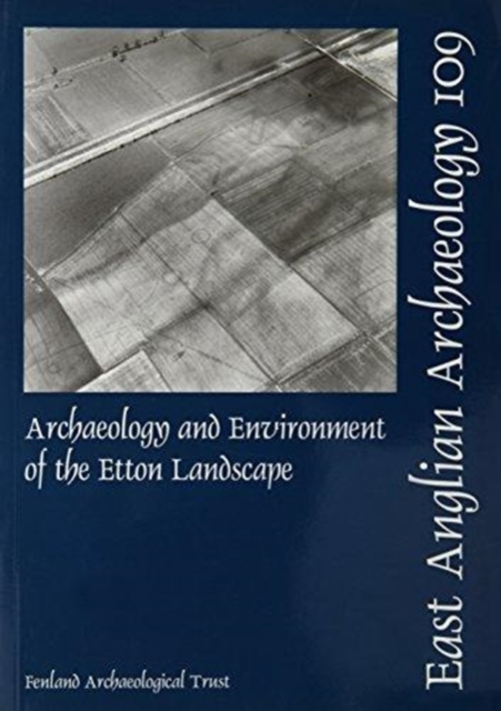
EAA 109: Archaeology and Environment of the Etton Landscape Paperback / softback
by Charles French
Part of the East Anglian Archaeology Monograph series
Paperback / softback
- Information
Description
A long-term, low-cost rescue project was undertaken in response to gravel quarrying at Maxey between 1983 and 1990.
Throughout, the archaeological focus was the more or less concurrent excavation taking place at the Etton causewayed enclosure, a site which was effectively a central point within this part of the lower Welland valley. The Etton Landscape consists of the relict river systems, former floodplain and lowermost parts of the Welland First Terrace gravels between the modern villages of Maxey, Etton and Northborough.
Situated on the fringe of this seasonally wet landscape was a series of later Neolithic and Bronze Age monuments and more enigmatic areas of occupation.
The principal monuments, other than the Etton causewayed enclosure, were three small henges which exhibited several phases of re-modelling, a C-shaped enclosure, the Etton Woodgate contour ditched enclosure and associated settlement, and four barrows (out of many more that are in the vicinity).
The occupation areas were relatively few and ephemeral, often only consisting of a spread of occupation or midden material within the buried soil, a few post-holes and/or pits in no apparent pattern or structure.
There is also evidence of field demarcation on the floodplain edge in the later Neolithic. All of these sites straddled the period of later use of the causewayed enclosure, in the third millennium and early second millennium BC.
There seems to have been at this time a mosaic of old and new environments, ranging from old woodland to pasture and small zones of scrubby, fen-like carr, with the stream zones being affected by seasonal freshwater flooding and the minor deposition of silty clay alluvium. By the middle part of the second millennium BC, field systems laid out at right angles to the contemporary streams were in use, with successive versions of the same general layout continuing on into the Roman period.
Throughout the last two millennia BC there was a gradual opening up of the landscape, on the face of it largely pasture, but probably with some arable cultivation on the higher and better drained ground.
By the later Roman period, it appears that the area was more and more affected by the seasonal deposition of alluvium and overbank flooding, which led to the establishment of a loose and scattered layout of farmsteads and associated field systems on the higher parts of the first terrace. By medieval times, the higher parts of the terrace were completely given over to ridge and furrow cultivation, with villages established to the north and south, and the lowest zones occupied by infilled stream courses still remaining seasonally wet and possibly used as seasonal, unenclosed pasture.
This more or less remained the case until 1953, when the enlargement of the Maxey Cut effectively drained the lowest parts of the terrace and permitted an expansion of arable agriculture onto the most thickly alluviated parts of the lower Welland valley between Maxey and the fen-edge.
Information
-
Available to Order - This title is available to order, with delivery expected within 2 weeks
- Format:Paperback / softback
- Pages:205 pages, some b/w illus
- Publisher:East Anglian Archaeology
- Publication Date:31/12/2005
- Category:
- ISBN:9780952061625
Information
-
Available to Order - This title is available to order, with delivery expected within 2 weeks
- Format:Paperback / softback
- Pages:205 pages, some b/w illus
- Publisher:East Anglian Archaeology
- Publication Date:31/12/2005
- Category:
- ISBN:9780952061625
