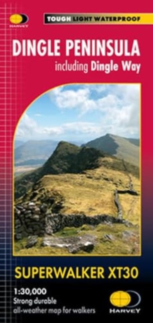
Dingle Peninsula Superwalker XT30 : including Dingle Way Sheet map, folded
Part of the Superwalker XT25 series
Sheet map, folded
- Information
Description
- Includes the whole of the Dingle Way long distance trail- Placenames in English and Gaeilge / Gaelic- Archaeological sites and walls and fences in farmland are clearly marked- The Superwalker XT30 is based on original HARVEY mapping with all the detail a walker would expect on a map at 1:30,000 scale- Uncluttered by information that is irrelevant to the walker and less than half the weight of a laminated map- Includes an inset map of the Blasket Islands at 1:50,000 scale- Core paths are shown- Shows pubs and cafes for the end of the day- Printed on strong, durable and 100% waterproof paper
Information
-
In Stock - low on stock, only 1 copy remainingFree UK DeliveryEstimated delivery 2-3 working days
- Format:Sheet map, folded
- Pages:1 pages
- Publisher:Harvey Map Services Ltd
- Publication Date:21/09/2023
- Category:
- ISBN:9781851376704
Information
-
In Stock - low on stock, only 1 copy remainingFree UK DeliveryEstimated delivery 2-3 working days
- Format:Sheet map, folded
- Pages:1 pages
- Publisher:Harvey Map Services Ltd
- Publication Date:21/09/2023
- Category:
- ISBN:9781851376704
