Sheet map, folded
- Information
Description
East Highland Way is an exciting new unofficial long distance route between Fort William and Aviemore.
Pioneered by Kevin Langan, this 82 mile trail forms a new link between the northern end of the West Highland Way and the southern end of the Speyside Way.
It also joins with the Great Glen Way at Fort William.
It is a tranquil route which takes in a varied and wild landscape and includes the ancient Caledonian Forests of Inshriach, loch-side trails and mountain wilderness.
Access to accommodation has been carefully considered wherever possible, making this route accessible to walkers of all abilities.
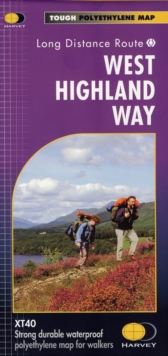
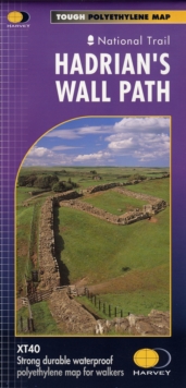
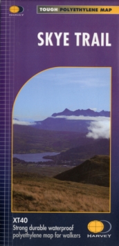
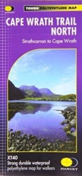
XT40 New generation of tough polyethylene maps The HARVEY series of Long Distance Route maps is an established success.
Now the advanced technology used in the creation of our best-selling British Mountain Maps is also applied to the route maps.
These maps are a leap forward in technical excellence.
They are tough, durable, light and 100% waterproof virtually indestructible in normal use.
They are light to carry, and compact not the great bulky package you get with a laminated map.
The map is detailed, with the routes clearly marked.
It also contains general information, useful telephone numbers and a full key.
Detailed, clear and easy to read. Printed on tough 100% waterproof, tearproof paper. Light to carry less than half the weight of a laminated map.
Good value: whole route on one map. Information on accommodation and services.
Information
-
Out of StockMore expected soonContact us for further information
- Format:Sheet map, folded
- Pages:1 pages
- Publisher:Harvey Map Services Ltd
- Publication Date:30/10/2018
- Category:
- ISBN:9781851375301
Information
-
Out of StockMore expected soonContact us for further information
- Format:Sheet map, folded
- Pages:1 pages
- Publisher:Harvey Map Services Ltd
- Publication Date:30/10/2018
- Category:
- ISBN:9781851375301