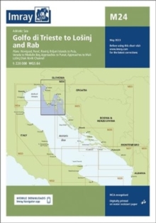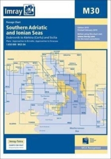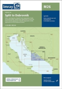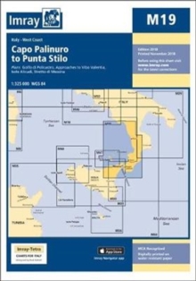
Sheet map, folded
- Information
Description
A passage planning chart covering Sardegna to Port Said and the Black Sea.
On this edition the magnetic variation curves have been updated with the latest data.
There has been general updating throughout.
Information
-
In Stock - Less than 10 copies availableFree UK DeliveryEstimated delivery 2-3 working days
- Format:Sheet map, folded
- Pages:1 pages
- Publisher:Imray, Laurie, Norie & Wilson Ltd
- Publication Date:05/04/2021
- Category:
- ISBN:9781786792600
Information
-
In Stock - Less than 10 copies availableFree UK DeliveryEstimated delivery 2-3 working days
- Format:Sheet map, folded
- Pages:1 pages
- Publisher:Imray, Laurie, Norie & Wilson Ltd
- Publication Date:05/04/2021
- Category:
- ISBN:9781786792600


