Sheet map, folded
- Information
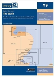
Description
This edition includes the latest official UKHO data, combined with additional information sourced from Imray's network to make it ideal for small craft.
It includes the latest official bathymetric surveys.
The chart has been fully revised throughout. 1:120 000 WGS 84
Information
-
In Stock - Less than 10 copies availableFree UK DeliveryEstimated delivery 2-3 working days
- Format:Sheet map, folded
- Pages:1 pages
- Publisher:Imray, Laurie, Norie & Wilson Ltd
- Publication Date:19/01/2024
- Category:
- ISBN:9781786795632
Other Formats
- Sheet map, folded from £24.80
Information
-
In Stock - Less than 10 copies availableFree UK DeliveryEstimated delivery 2-3 working days
- Format:Sheet map, folded
- Pages:1 pages
- Publisher:Imray, Laurie, Norie & Wilson Ltd
- Publication Date:19/01/2024
- Category:
- ISBN:9781786795632