, Sheet map Book")
Insight Guides Travel Map USA & Canada South (Insight Maps) Sheet map
by Insight Guides
Part of the Insight Guides Travel Maps series
Sheet map
- Information
Description
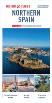
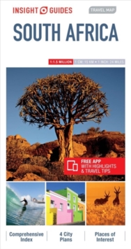
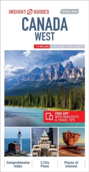
Insight Guides Travel Map USA & South Canada Travel made easy.
Ask local experts. This detailed travel map is all you need to plan your route and navigate your way around USA & South Canada; also includes a comprehensive index and a fabulous free app. Features of this travel map to USA & South Canada:- Drawn to a scale of 1:4 million, showing the entire area, complete with a comprehensive index- Ideal for route planning before and during your trip- Places of interest highlighted using pictorial symbols- Handy distance indicators give distances to the nearest town and other major locations- Intermediate driving distances marked on main roads- City plans of Chicago, Los Angeles, Miami, New York, San Francisco & Washington D.C. - Extensive legend shown in 4 languages- Innovative and unique extras: a free app with top travel tips, must-see places, restaurants and hotelsYou may also be interested in: Insight Guides USA on the Road, Insight Guides CanadaAbout Insight Guides: Insight Guides is a pioneer of full-colour guidebooks, with almost 50 years' experience of publishing high-quality, visual travel guides with user-friendly, modern design.
We produce around 400 full-colour print guide books and maps, as well as phrase books, picture-packed eBooks and apps to meet different travellers' needs.
Insight Guides' unique combination of beautiful travel photography and focus on history and culture create a unique visual reference and planning tool to inspire your next adventure.
Information
-
In Stock - Less than 10 copies availableFree UK DeliveryEstimated delivery 2-3 working days
- Format:Sheet map
- Publisher:APA Publications
- Publication Date:01/01/2020
- Category:
- ISBN:9781789199499
Information
-
In Stock - Less than 10 copies availableFree UK DeliveryEstimated delivery 2-3 working days
- Format:Sheet map
- Publisher:APA Publications
- Publication Date:01/01/2020
- Category:
- ISBN:9781789199499