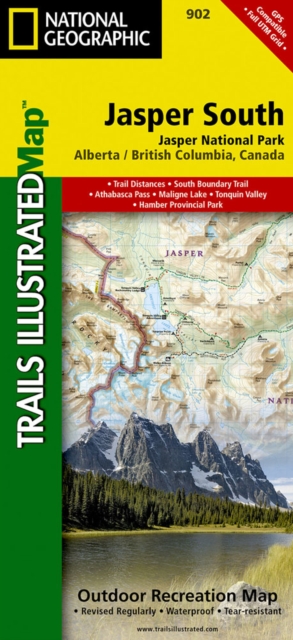
Jasper South : Trails Illustrated National Parks Sheet map, folded
by National Geographic Maps
Sheet map, folded
- Information
Description
The front side of the Jasper South map details the east side of the national park, from Whitehorse Wildland Provincial Park to the north, to White Goat Wilderness Area to the south.
The reverse side of the map details the west side of the park, extending from Cummins Lakes Provincial Park to the south, to Victoria Cross Ranges to the North.
Insets show survival tips, safe travel in Bear Country, and all the recreation the park has to offer with backpacking, camping, biking, hiking and horseback riding.
This map is printed on waterproof, tear-resistant material.
Information
-
In Stock - low on stock, only 1 copy remainingFree UK DeliveryEstimated delivery 2-3 working days
- Format:Sheet map, folded
- Pages:1 pages
- Publisher:National Geographic Maps
- Publication Date:02/08/2012
- Category:
- ISBN:9781566956604
Information
-
In Stock - low on stock, only 1 copy remainingFree UK DeliveryEstimated delivery 2-3 working days
- Format:Sheet map, folded
- Pages:1 pages
- Publisher:National Geographic Maps
- Publication Date:02/08/2012
- Category:
- ISBN:9781566956604