Nicholson Guide to the Waterways : River Thames & the Southern Waterways No. 7 Spiral bound
Part of the Waterways Guide S. series
Spiral bound
- Information
Description
Colour maps clearly showing locks, towpaths and boating facilities as well as comprehensive navigational notes.
First published in the 1970s, the "Collins/Nicholson" guides to the waterways are designed for anyone and everyone with an interest in Britain's inland waterways - experienced boaters and those planning their first boat trip, walkers, cyclists and visitors.
Maps show: locks, bridges, tunnels, aqueducts, winding holes and the towpath; waterpoints, sanitary stations, pump out facilities and refuse disposal; boatyards, pubs, restaurants and shops; mile markers and milestones (distance in miles and number of locks to strategic points along the waterways).
Text includes: the history of each canal; local services and places of interest, pubs and restaurants; opportunities for walking and cycling.
Comprehensive navigational notes include: maximum dimensions and low bridges; mileages, advice and potential hazards; navigation authorities and contact details.
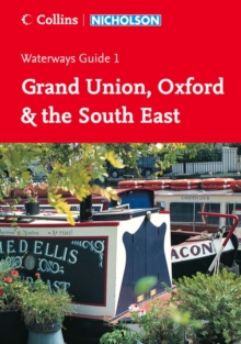
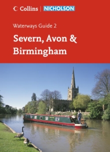
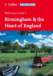
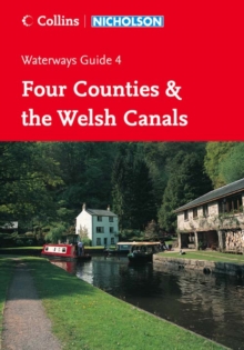
Waterways covered in this guide - Basingstoke Canal, Bridgwater and Taunton Canal, Grand Western Canal, Exeter Ship Canal, Kennet and Avon Canal, River Thames, River Wey.
Information
-
Out of StockMore expected soonContact us for further information
- Format:Spiral bound
- Pages:192 pages, col. Illustrations, col. maps
- Publisher:HarperCollins Publishers
- Publication Date:06/03/2006
- Category:
- ISBN:9780007211159
Information
-
Out of StockMore expected soonContact us for further information
- Format:Spiral bound
- Pages:192 pages, col. Illustrations, col. maps
- Publisher:HarperCollins Publishers
- Publication Date:06/03/2006
- Category:
- ISBN:9780007211159