Bradshaw's Railway Map Central Europe 1913
George Bradshaw
In StockFree UK DeliveryEstimated delivery 2-3 working days
Format: Book (Sheet map, folded)
£14.99
£13.66
In StockFree UK DeliveryEstimated delivery 2-3 working days
Book (Sheet map, folded)
Add to BasketIndian Railways
DK
In StockFree UK DeliveryEstimated delivery 2-3 working days
Format: Book (Hardback)
£20.00
£15.35
In StockFree UK DeliveryEstimated delivery 2-3 working days
Book (Hardback)
Add to BasketMutiny on the Spanish Main : HMS Hermione and the Royal Navy’s revenge
Angus Konstam
In StockFree UK DeliveryEstimated delivery 2-3 working days
Format: Book (Hardback)
£25.00
£18.83
In StockFree UK DeliveryEstimated delivery 2-3 working days
Book (Hardback)
Add to BasketWarships in the Baltic Campaign 1918-20 : The Royal Navy takes on the Bolsheviks
Angus Konstam
In StockFree UK DeliveryEstimated delivery 2-3 working days
Format: Book (Paperback / softback)
£11.99
£10.30
In StockFree UK DeliveryEstimated delivery 2-3 working days
Book (Paperback / softback)
Add to BasketNaval Battle of Crete 1941 : The Royal Navy at Breaking Point
Angus Konstam
In StockFree UK DeliveryEstimated delivery 2-3 working days
Format: Book (Paperback / softback)
£16.99
£13.36
In StockFree UK DeliveryEstimated delivery 2-3 working days
Book (Paperback / softback)
Add to BasketA Bristol 1851-1903 - Fold up Map that consists of Four Detailed Street Plans, Bristol 1851 by John Tallis, 1866 by A Fullarton, 1893 by William MacKenzie and 1903 by Bartholomew.
Mapseeker Publishing Ltd.
In StockFree UK DeliveryEstimated delivery 2-3 working days
Format: Book (Sheet map, folded)
£19.99
£17.03
In StockFree UK DeliveryEstimated delivery 2-3 working days
Book (Sheet map, folded)
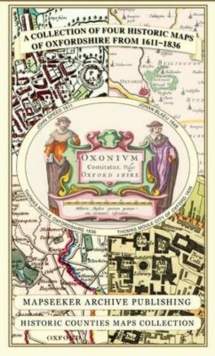
Add to BasketA Oxfordshire 1611 - 1836 - Fold Up Map that features a collection of Four Historic Maps, John Speed's County Map 1611, Johan Blaeu's County Map of 1648, Thomas Moules County Map of 1836 and a Plan of
Mapseeker Publishing Ltd.
In StockFree UK DeliveryEstimated delivery 2-3 working days
Format: Book (Sheet map, folded)
£19.99
£17.03
In StockFree UK DeliveryEstimated delivery 2-3 working days
Book (Sheet map, folded)
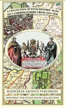
Add to BasketCambridgeshire 1611 - 1836 - Fold Up Map that includes Four Historic Maps of Cambridgeshire, John Speed's County Map of 1611, Johan Blaeu's County Map of 1648, Thomas Moule's County Map of 1836 and Th
Mapseeker Publishing Ltd.
In StockFree UK DeliveryEstimated delivery 2-3 working days
Format: Book (Sheet map, folded)
£19.99
£17.03
In StockFree UK DeliveryEstimated delivery 2-3 working days
Book (Sheet map, folded)
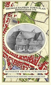
Add to BasketThomas Hanson Town Plan of Birmingham 1778
Thomas Hanson
In StockFree UK DeliveryEstimated delivery 2-3 working days
Format: Book (Sheet map, folded)
£19.99
£17.03
In StockFree UK DeliveryEstimated delivery 2-3 working days
Book (Sheet map, folded)
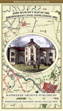
Add to BasketJohn Hancox's Map of the Birmingham Canal Navigations 1864
John Hancox
In StockFree UK DeliveryEstimated delivery 2-3 working days
Format: Book (Sheet map, folded)
£19.99
£17.03
In StockFree UK DeliveryEstimated delivery 2-3 working days
Book (Sheet map, folded)
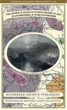
Add to BasketThe Mining & Manufacturing Districts 1836 Staffordshire and Worcestershire
Mapseeker Publishing Ltd.
In StockFree UK DeliveryEstimated delivery 2-3 working days
Format: Book (Sheet map, folded)
£19.99
£17.03
In StockFree UK DeliveryEstimated delivery 2-3 working days
Book (Sheet map, folded)
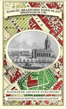
Add to BasketSamuel Bradford Town Plan Birmingham 1750
Samuel Bradford
In StockFree UK DeliveryEstimated delivery 2-3 working days
Format: Book (Sheet map, folded)
£19.99
£17.03
In StockFree UK DeliveryEstimated delivery 2-3 working days
Book (Sheet map, folded)
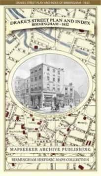
Add to BasketJames Drake's Street Plan and Index of Birmingham 1832
James Drake
In StockFree UK DeliveryEstimated delivery 2-3 working days
Format: Book (Sheet map, folded)
£19.99
£17.03
In StockFree UK DeliveryEstimated delivery 2-3 working days
Book (Sheet map, folded)
Add to BasketLiverpool 1650 to 1821 - Fold Up Map Containing Town Plans of Liverpool that include Liverpool 1650, 1725, 1795 and Sherwood's plan of Liverpool and Environs 1821
Mapseeker Publishing Ltd.
In StockFree UK DeliveryEstimated delivery 2-3 working days
Format: Book (Sheet map, folded)
£19.99
£18.03
In StockFree UK DeliveryEstimated delivery 2-3 working days
Book (Sheet map, folded)
Add to BasketCornwall 1611 - 1836 - Fold Up Map that features a collection of Four Historic Maps, John Speed's County Map 1611, Johan Blaeu's County Map of 1648, Thomas Moules County Map of 1836 and Robert Dawson'
Mapseeker Publishing Ltd.
In StockFree UK DeliveryEstimated delivery 2-3 working days
Format: Book (Sheet map, folded)
£19.99
£18.03
In StockFree UK DeliveryEstimated delivery 2-3 working days
Book (Sheet map, folded)
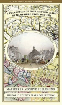
Add to BasketHampshire 1610 - 1836 - Fold Up Map that features a collection of Four Historic Maps, John Speed's County Map 1611, Johan Blaeu's County Map of 1648, Thomas Moules County Map of 1836 and a Plan of Win
Mapseeker Publishing Ltd.
In StockFree UK DeliveryEstimated delivery 2-3 working days
Format: Book (Sheet map, folded)
£19.99
£18.03
In StockFree UK DeliveryEstimated delivery 2-3 working days
Book (Sheet map, folded)
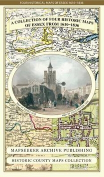
Add to BasketEssex 1610 - 1836 - Fold Up Map that features a collection of Four Historic Maps, John Speed's County Map 1610, Johan Blaeu's County Map of 1648, Thomas Moules County Map of 1836 and a Plan of Colches
Mapseeker Publishing Ltd.
In StockFree UK DeliveryEstimated delivery 2-3 working days
Format: Book (Sheet map, folded)
£19.99
£18.03
In StockFree UK DeliveryEstimated delivery 2-3 working days
Book (Sheet map, folded)
Add to BasketManchester 1650 - 1876 - Fold Up Map featuring William Swire's Plan of Manchester and Environs 1824, Cole and Ropers Plan of Manchester and Salford 1807, Dawson's Reform Plan of 1831, A Birds Eye View
Mapseeker Publishing Ltd.
In StockFree UK DeliveryEstimated delivery 2-3 working days
Format: Book (Sheet map, folded)
£19.99
£18.03
In StockFree UK DeliveryEstimated delivery 2-3 working days
Book (Sheet map, folded)
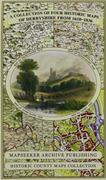
Add to BasketDerbyshire 1610 - 1836 - Fold Up Map that features a collection of Four Historic Maps, John Speed's County Map 1611, Johan Blaeu's County Map of 1648, Thomas Moules County Map of 1836 and Cole and Rop
Mapseeker Publishing Ltd.
In StockFree UK DeliveryEstimated delivery 2-3 working days
Format: Book (Sheet map, folded)
£19.99
£18.03
In StockFree UK DeliveryEstimated delivery 2-3 working days
Book (Sheet map, folded)
Add to BasketThe LGBTQ + History Book : Big Ideas Simply Explained
DK
In StockFree UK DeliveryEstimated delivery 2-3 working days
Format: Book (Hardback)
£19.99
£15.12
In StockFree UK DeliveryEstimated delivery 2-3 working days
Book (Hardback)
Add to BasketThe British Sailor of the Second World War
Angus Konstam
Out of StockMore expected soonContact us for further information
Format: Book (Paperback / softback)
£7.99
£7.88
Out of StockMore expected soonContact us for further information
Book (Paperback / softback)
Add to BasketThe Barbary Pirates 15th-17th Centuries
Angus Konstam
Out of StockMore expected soonContact us for further information
Format: Book (Paperback / softback)
£14.99
£12.23
Out of StockMore expected soonContact us for further information
Book (Paperback / softback)
Add to BasketElizabethan Sea Dogs 1560-1605
Angus Konstam
Out of StockMore expected soonContact us for further information
Format: Book (Paperback / softback)
£14.99
£12.23
Out of StockMore expected soonContact us for further information
Book (Paperback / softback)
Add to BasketBuccaneers 1620-1700
Angus Konstam
Out of StockMore expected soonContact us for further information
Format: Book (Paperback / softback)
£14.99
£12.23
Out of StockMore expected soonContact us for further information
Book (Paperback / softback)
Add to Basket


