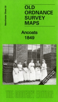
Ancoats 1849 : Manchester Large Scale Sheet 30
Chris Makepeace
In StockFree UK DeliveryEstimated delivery 2-3 working days
Format: Book (Sheet map, folded)
£4.76
In StockFree UK DeliveryEstimated delivery 2-3 working days
Book (Sheet map, folded)
Add to BasketStockport Town Centre 1873 : Stockport Sheet 8
Chris Makepeace
In StockFree UK DeliveryEstimated delivery 2-3 working days
Format: Book (Sheet map, folded)
£4.76
In StockFree UK DeliveryEstimated delivery 2-3 working days
Book (Sheet map, folded)
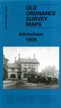
Add to BasketAltrincham 1908 : Cheshire Sheet 18.06
Chris Makepeace
In StockFree UK DeliveryEstimated delivery 2-3 working days
Format: Book (Sheet map, folded)
£4.76
In StockFree UK DeliveryEstimated delivery 2-3 working days
Book (Sheet map, folded)
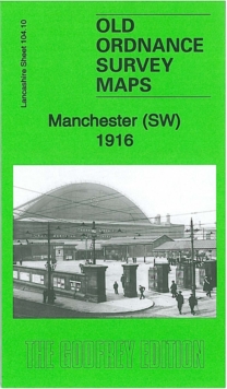
Add to BasketManchester SW 1916 : Lancashire Sheet 104.10b
Chris Makepeace
In StockFree UK DeliveryEstimated delivery 2-3 working days
Format: Book (Sheet map, folded)
£4.76
In StockFree UK DeliveryEstimated delivery 2-3 working days
Book (Sheet map, folded)
Add to BasketAncoats (North) 1848 : Manchester Large Scale Sheet 25
Chris Makepeace
In StockFree UK DeliveryEstimated delivery 2-3 working days
Format: Book (Sheet map, folded)
£4.76
In StockFree UK DeliveryEstimated delivery 2-3 working days
Book (Sheet map, folded)
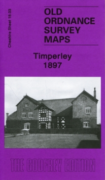
Add to BasketTimperley 1897 : Cheshire Sheet 18.03
Chris Makepeace
In StockFree UK DeliveryEstimated delivery 2-3 working days
Format: Book (Sheet map, folded)
£4.76
In StockFree UK DeliveryEstimated delivery 2-3 working days
Book (Sheet map, folded)
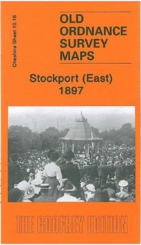
Add to BasketStockport (East) 1897 : Cheshire Sheet 10.16
Chris Makepeace
In StockFree UK DeliveryEstimated delivery 2-3 working days
Format: Book (Sheet map, folded)
£4.76
In StockFree UK DeliveryEstimated delivery 2-3 working days
Book (Sheet map, folded)
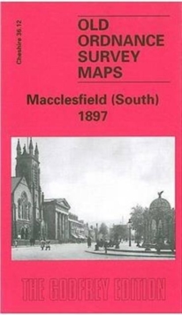
Add to BasketMacclesfield (South) 1897 : Cheshire Sheet 36.12
Chris Makepeace
In StockFree UK DeliveryEstimated delivery 2-3 working days
Format: Book (Sheet map, folded)
£6.24
In StockFree UK DeliveryEstimated delivery 2-3 working days
Book (Sheet map, folded)
Add to BasketCheadle and Cheadle Heath 1897 : Cheshire Sheet 19.02
Chris Makepeace
Out of StockMore expected soonContact us for further information
Format: Book (Sheet map, folded)
£4.48
Out of StockMore expected soonContact us for further information
Book (Sheet map, folded)
Add to BasketHeaton Norris 1893 : Lancashire Sheet 111.12a
Chris Makepeace
Unavailable
Format: Book (Sheet map, folded)
£3.50
£3.45
Unavailable
Book (Sheet map, folded)
Willenhall 1838 - Old Map Supplied in a Clear Two Part Screw Presentation Tube - Print Size 45cm x 32cm
Mapseeker Publishing
Out of StockMore expected soonContact us for further information
Format: Book (Sheet map, rolled)
£13.31
Out of StockMore expected soonContact us for further information
Book (Sheet map, rolled)
Add to BasketPelsall village 1884 - Old Map supplied Rolled in a Clear Two Part Screw Presentation Tube - Print Size 45cm x 32cm
Mapseeker Publishing
Out of StockMore expected soonContact us for further information
Format: Book (Sheet map, rolled)
£13.31
Out of StockMore expected soonContact us for further information
Book (Sheet map, rolled)
Add to BasketRushall to Daw End 1888 - Old Map Supplied Rolled in a Clear Two Part Screw Presentation Tube - Print size 45cm x 32cm
Mapseeker Publishing
Out of StockMore expected soonContact us for further information
Format: Book (Sheet map, rolled)
£13.31
Out of StockMore expected soonContact us for further information
Book (Sheet map, rolled)
Add to BasketAldridge Village 1884 - Old Map Supplied in a Clear Two Part Screw Presentation Tube - Print Size 45cm x 32cm
Mapseeker Publishing
Out of StockMore expected soonContact us for further information
Format: Book (Sheet map, rolled)
£13.31
Out of StockMore expected soonContact us for further information
Book (Sheet map, rolled)
Add to Basket