Snowdon
In StockFree UK DeliveryEstimated delivery 2-3 working days
Format: Book (Sheet map, folded)
£16.99
£12.97
In StockFree UK DeliveryEstimated delivery 2-3 working days
Book (Sheet map, folded)
Add to BasketKefalonia Tour and Trail Map
Jan Kostura
In StockFree UK DeliveryEstimated delivery 2-3 working days
Format: Book (Sheet map, folded)
£10.99
£9.48
In StockFree UK DeliveryEstimated delivery 2-3 working days
Book (Sheet map, folded)
Add to BasketRYA Pocket Guide to Boating Knots
In StockFree UK DeliveryEstimated delivery 2-3 working days
Format: Book (Spiral bound)
CCC Sailing Directions and Anchorages - Outer Hebrides : Covers the Western Isles from Lewis to Berneray
Clyde Cruising Club
In StockFree UK DeliveryEstimated delivery 2-3 working days
Format: Book (Spiral bound)
£37.50
£32.93
In StockFree UK DeliveryEstimated delivery 2-3 working days
Book (Spiral bound)
Add to BasketImray Chart C34 : Cap d'Erquy to Ile de Batz
Imray
In StockFree UK DeliveryEstimated delivery 2-3 working days
Format: Book (Sheet map, folded)
£28.61
In StockFree UK DeliveryEstimated delivery 2-3 working days
Book (Sheet map, folded)
Add to BasketGrand Union, Oxford and the South East : For Everyone with an Interest in Britain’s Canals and Rivers
Nicholson Waterways Guides
In StockFree UK DeliveryEstimated delivery 2-3 working days
Format: Book (Spiral bound)
£16.99
£13.41
In StockFree UK DeliveryEstimated delivery 2-3 working days
Book (Spiral bound)
Add to BasketNicholson Inland Waterways Map of Great Britain : For Everyone with an Interest in Britain’s Canals and Rivers
Nicholson Waterways Guides
In StockFree UK DeliveryEstimated delivery 2-3 working days
Format: Book (Sheet map, folded)
£8.99
£8.45
In StockFree UK DeliveryEstimated delivery 2-3 working days
Book (Sheet map, folded)
Add to BasketG12 South Ionian Islands : Nisos Levkas to Nisos Zakinthos
Imray
In StockFree UK DeliveryEstimated delivery 2-3 working days
Format: Book (Sheet map, folded)
£25.30
In StockFree UK DeliveryEstimated delivery 2-3 working days
Book (Sheet map, folded)
Add to BasketImray Chart G14 : Saronic and Argolic Gulfs
Imray
In StockFree UK DeliveryEstimated delivery 2-3 working days
Format: Book (Sheet map, folded)
£25.30
In StockFree UK DeliveryEstimated delivery 2-3 working days
Book (Sheet map, folded)
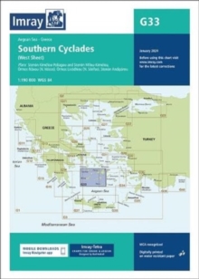
Add to BasketImray Chart G33 : Southern Cyclades
Imray
In StockFree UK DeliveryEstimated delivery 2-3 working days
Format: Book (Sheet map, folded)
£25.30
In StockFree UK DeliveryEstimated delivery 2-3 working days
Book (Sheet map, folded)
Add to BasketG3 Aegean Sea (South)
Rod & Lu Heikell
In StockFree UK DeliveryEstimated delivery 2-3 working days
Format: Book (Sheet map, folded)
£25.30
In StockFree UK DeliveryEstimated delivery 2-3 working days
Book (Sheet map, folded)
Add to BasketImray G141 Chart : Saronikos Kolpos
Imray
In StockFree UK DeliveryEstimated delivery 2-3 working days
Format: Book (Sheet map, folded)
£25.30
In StockFree UK DeliveryEstimated delivery 2-3 working days
Book (Sheet map, folded)
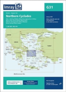
Add to BasketImray Chart G31 : Northern Cyclades
Imray
In StockFree UK DeliveryEstimated delivery 2-3 working days
Format: Book (Sheet map, folded)
£25.30
In StockFree UK DeliveryEstimated delivery 2-3 working days
Book (Sheet map, folded)
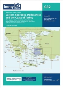
Add to BasketImray Chart G32 : Eastern Sporades, Dodecanese & the Coast of Turkey
Imray
In StockFree UK DeliveryEstimated delivery 2-3 working days
Format: Book (Sheet map, folded)
£25.30
In StockFree UK DeliveryEstimated delivery 2-3 working days
Book (Sheet map, folded)
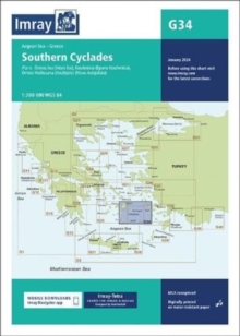
Add to BasketImray Chart G34 : Southern Cyclades
Imray
In StockFree UK DeliveryEstimated delivery 2-3 working days
Format: Book (Sheet map, folded)
£25.30
In StockFree UK DeliveryEstimated delivery 2-3 working days
Book (Sheet map, folded)
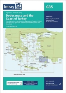
Add to BasketImray Chart G35 : Dodecanese and the Coast of Turkey
Imray
In StockFree UK DeliveryEstimated delivery 2-3 working days
Format: Book (Sheet map, folded)
£25.30
In StockFree UK DeliveryEstimated delivery 2-3 working days
Book (Sheet map, folded)
Add to BasketImray 2100 Chart Pack : Kent and Sussex Coasts
Imray
In StockFree UK DeliveryEstimated delivery 2-3 working days
Format: Book (Loose-leaf)
£54.95
£53.61
In StockFree UK DeliveryEstimated delivery 2-3 working days
Book (Loose-leaf)
Add to BasketG1 Mainland Greece and the Peloponnisos : Passage Chart
In StockFree UK DeliveryEstimated delivery 2-3 working days
Format: Book (Sheet map, folded)
£25.30
In StockFree UK DeliveryEstimated delivery 2-3 working days
Book (Sheet map, folded)
Add to BasketImray Chart G15 : Southern Peloponnisos
Imray
In StockFree UK DeliveryEstimated delivery 2-3 working days
Format: Book (Sheet map, folded)
£25.30
In StockFree UK DeliveryEstimated delivery 2-3 working days
Book (Sheet map, folded)
Add to BasketImray Chart G16 : Western Peloponnisos
Imray
In StockFree UK DeliveryEstimated delivery 2-3 working days
Format: Book (Sheet map, folded)
£25.30
In StockFree UK DeliveryEstimated delivery 2-3 working days
Book (Sheet map, folded)
Add to BasketImray Chart C8 : Dover Strait
Imray
In StockFree UK DeliveryEstimated delivery 2-3 working days
Format: Book (Sheet map, folded)
£27.07
In StockFree UK DeliveryEstimated delivery 2-3 working days
Book (Sheet map, folded)
Add to BasketImray Chart C9 : Beachy Head to Isle of Wight
Imray
In StockFree UK DeliveryEstimated delivery 2-3 working days
Format: Book (Sheet map, folded)
£27.07
In StockFree UK DeliveryEstimated delivery 2-3 working days
Book (Sheet map, folded)
Add to BasketImray Chart Y14 : The Swale (Small Format)
Imray
In StockFree UK DeliveryEstimated delivery 2-3 working days
Format: Book (Sheet map, folded)
£18.42
In StockFree UK DeliveryEstimated delivery 2-3 working days
Book (Sheet map, folded)
Add to BasketImray Chart Y18 : The River Medway and Approaches
Imray
In StockFree UK DeliveryEstimated delivery 2-3 working days
Format: Book (Sheet map, folded)
£24.91
In StockFree UK DeliveryEstimated delivery 2-3 working days
Book (Sheet map, folded)
Add to Basket


